

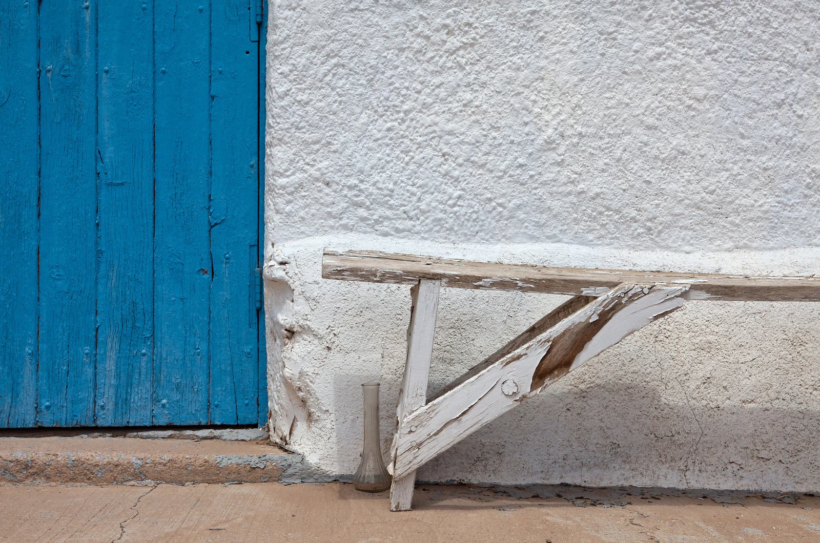
2001_Taos Wall
Building on west side of San Francisco de Asis Mission Church, Taos NM

2002_Door-Mora;Nm
Highway 518 @ intersection with NM State Road 94
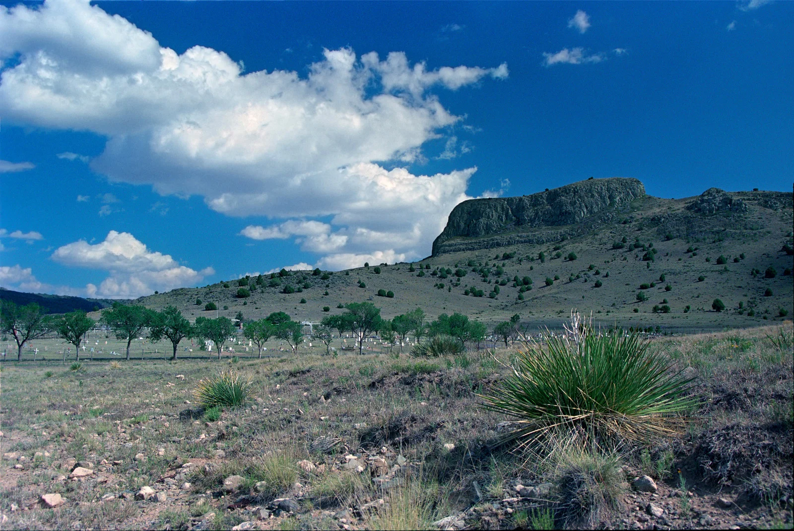
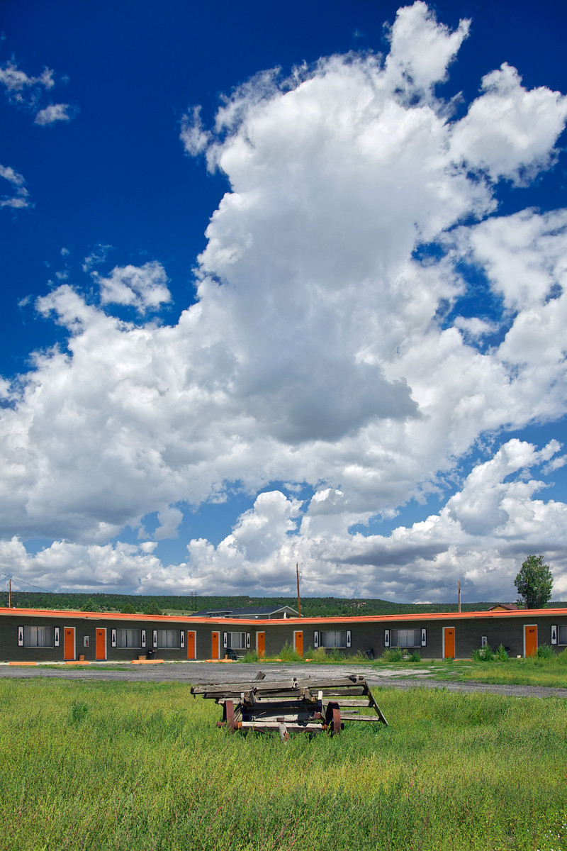
2002_Wagon Mound, Nm
2002_Wagon Mound, Nm
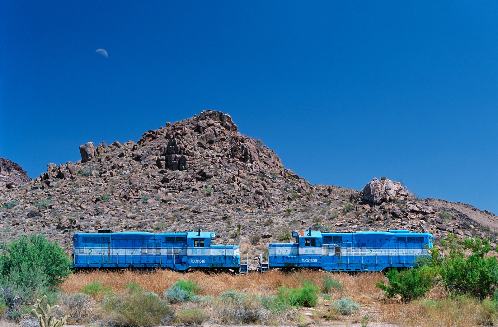
2003_Blue Trains-Kingman, Az
2003_Blue Trains-Kingman, Az
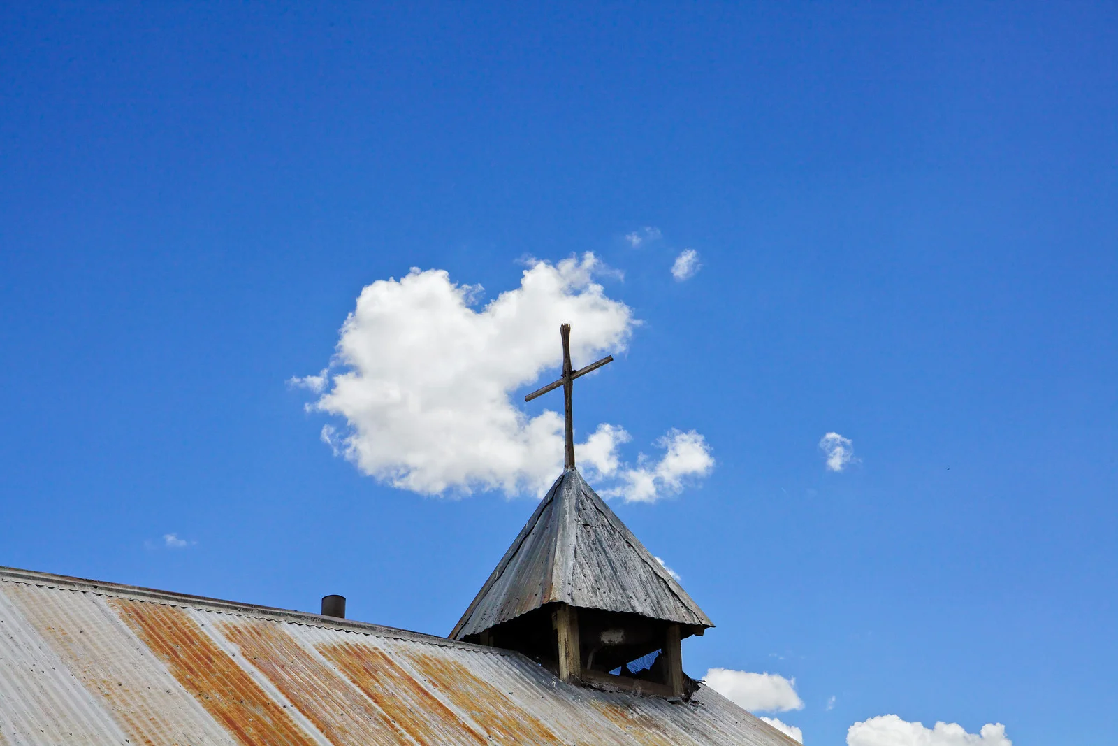
2003_San Rafael Church-La Cueva,Nm
2003_Church-La Cueva,Nm
http://timsanchezphotography.smugmug.com/Travel/Southwest-Gallery-2/i-TSk947L/A
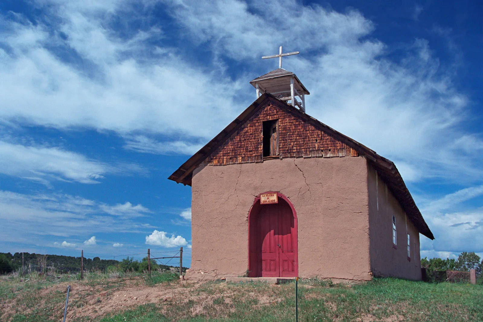
2003_La Iglesia de San Acacio Church_Hwy 161-Golondrinas, Nm
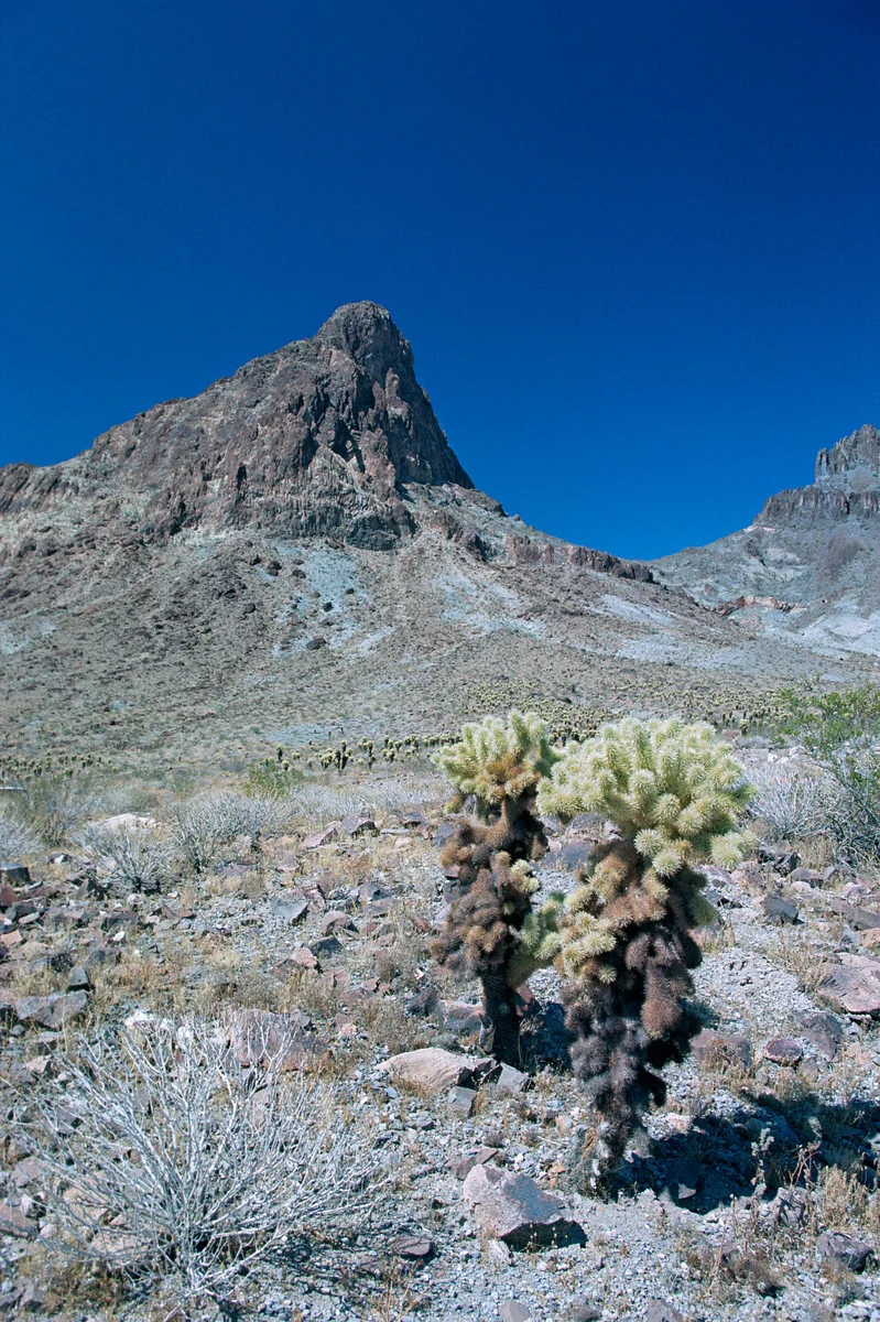
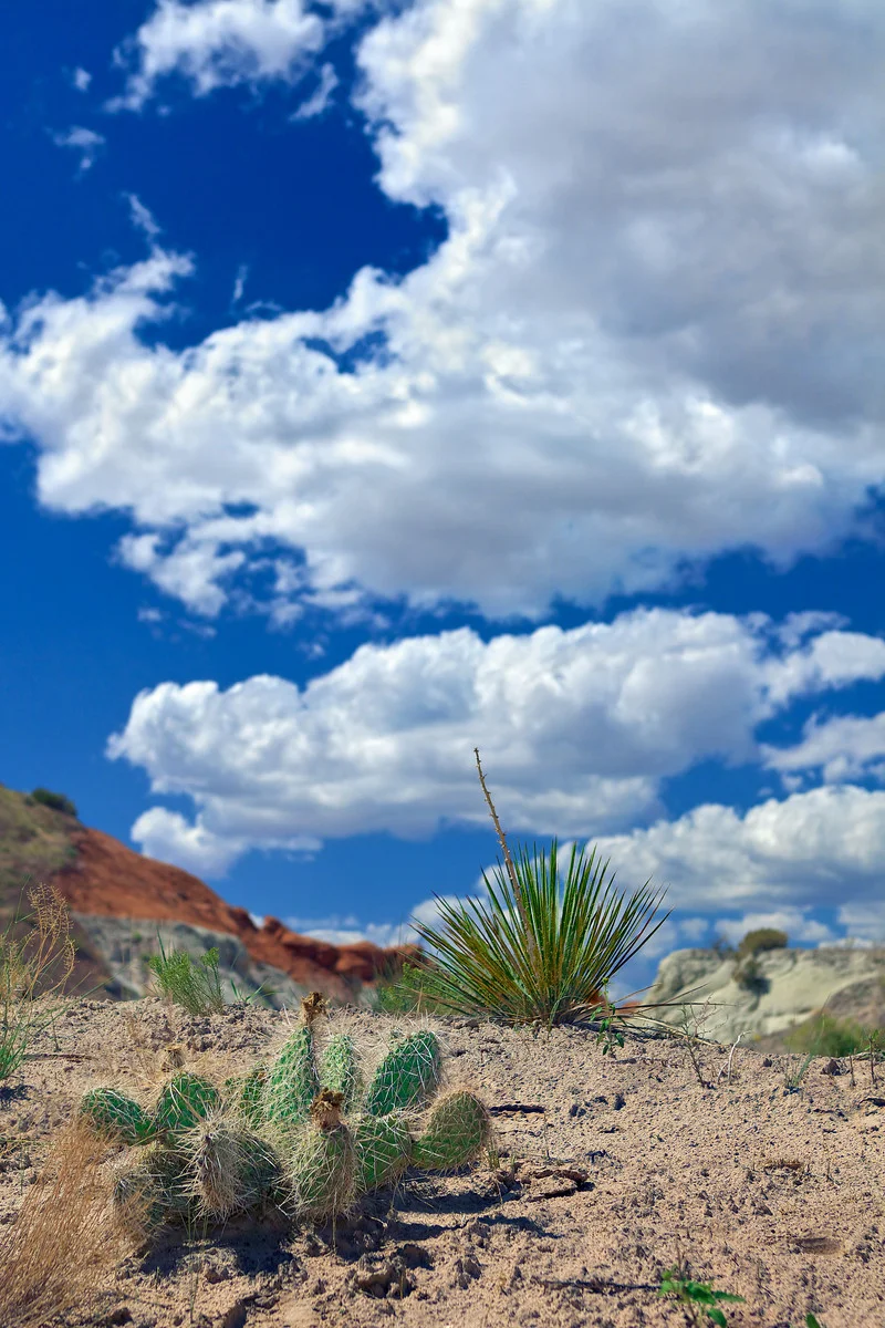
2003_Jumping Cholla-Desert-Old Rte 66 (Hwy 10),Az
2003_Jumping Cholla-Desert-Old Rte 66 (Hwy 10),Az
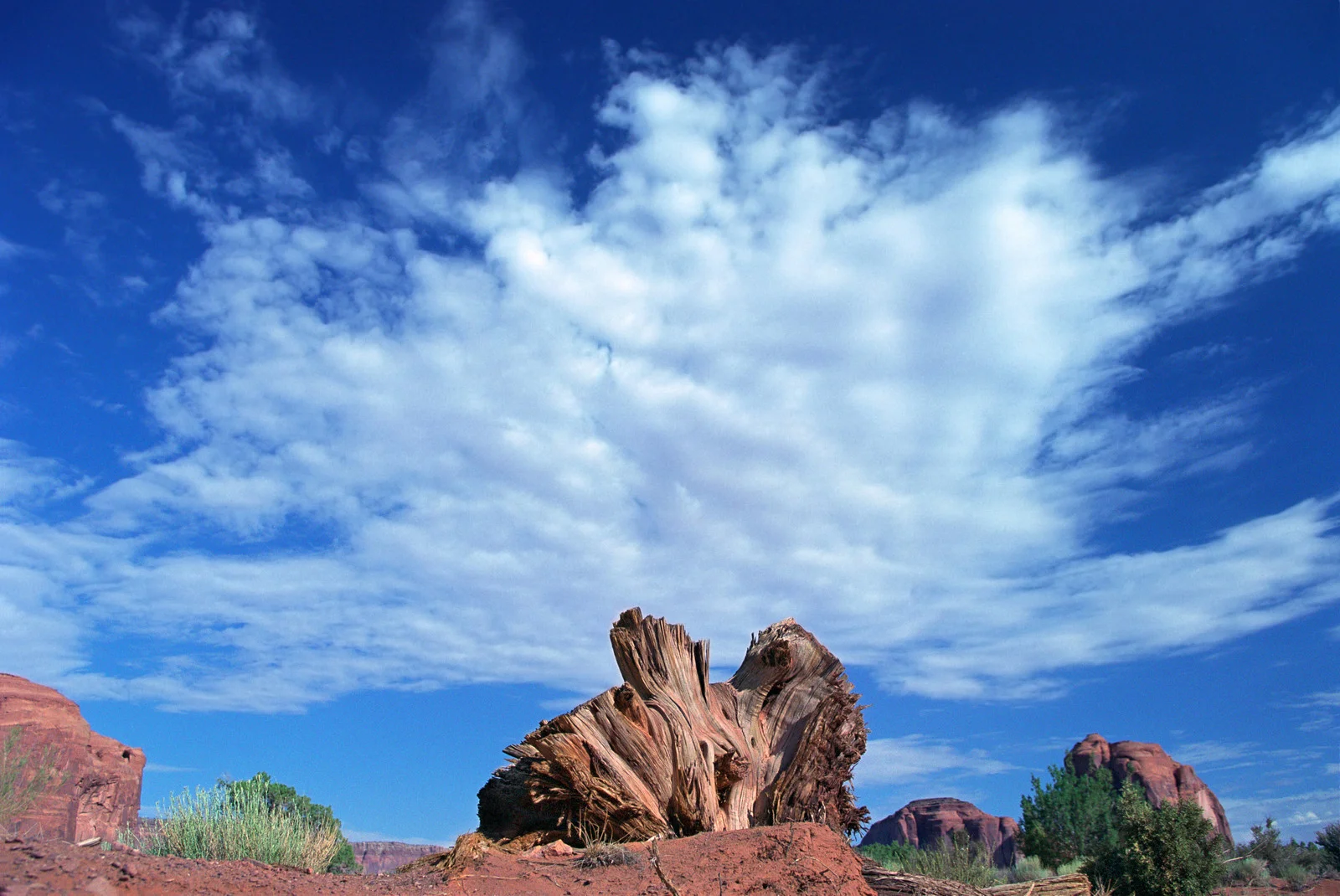
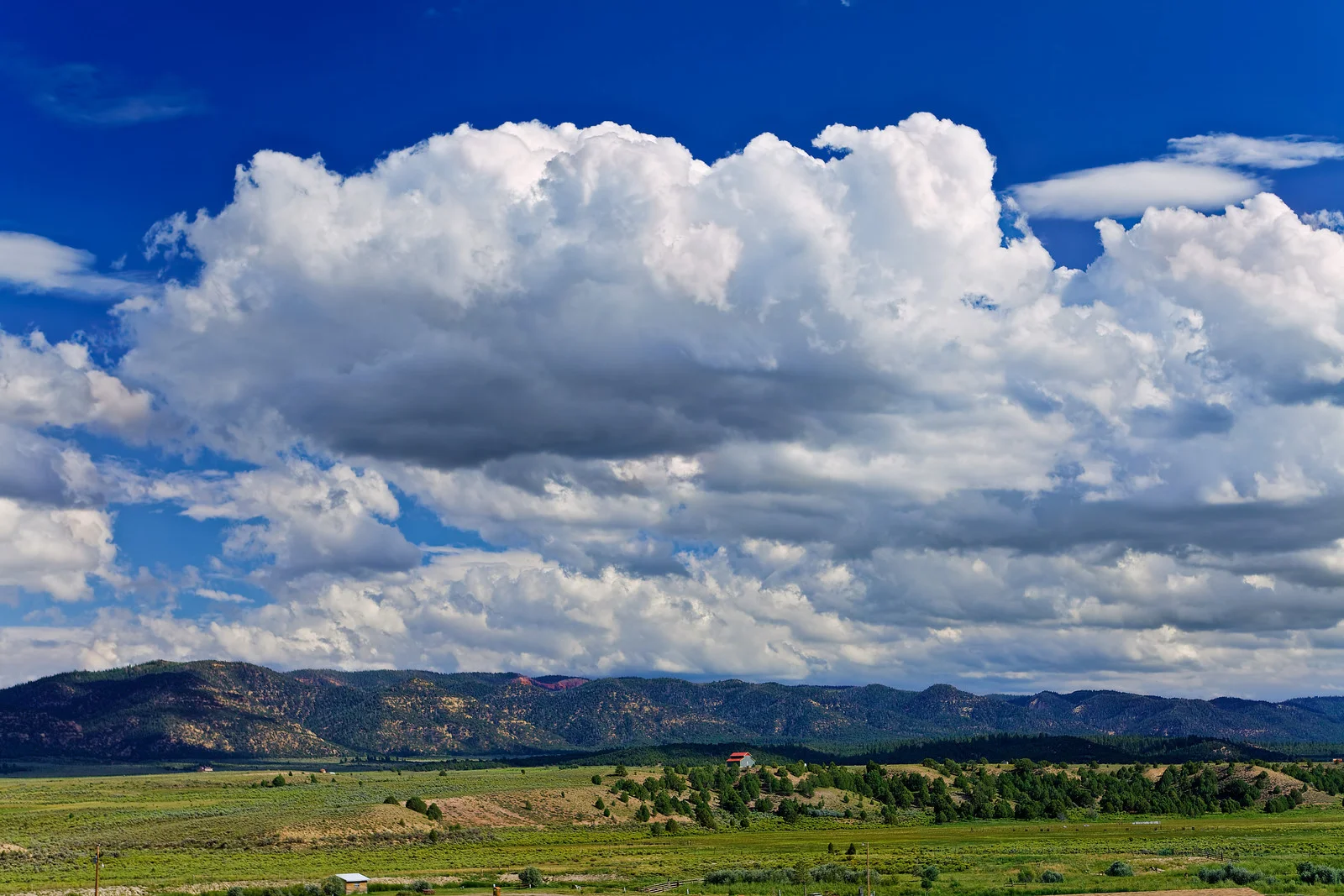
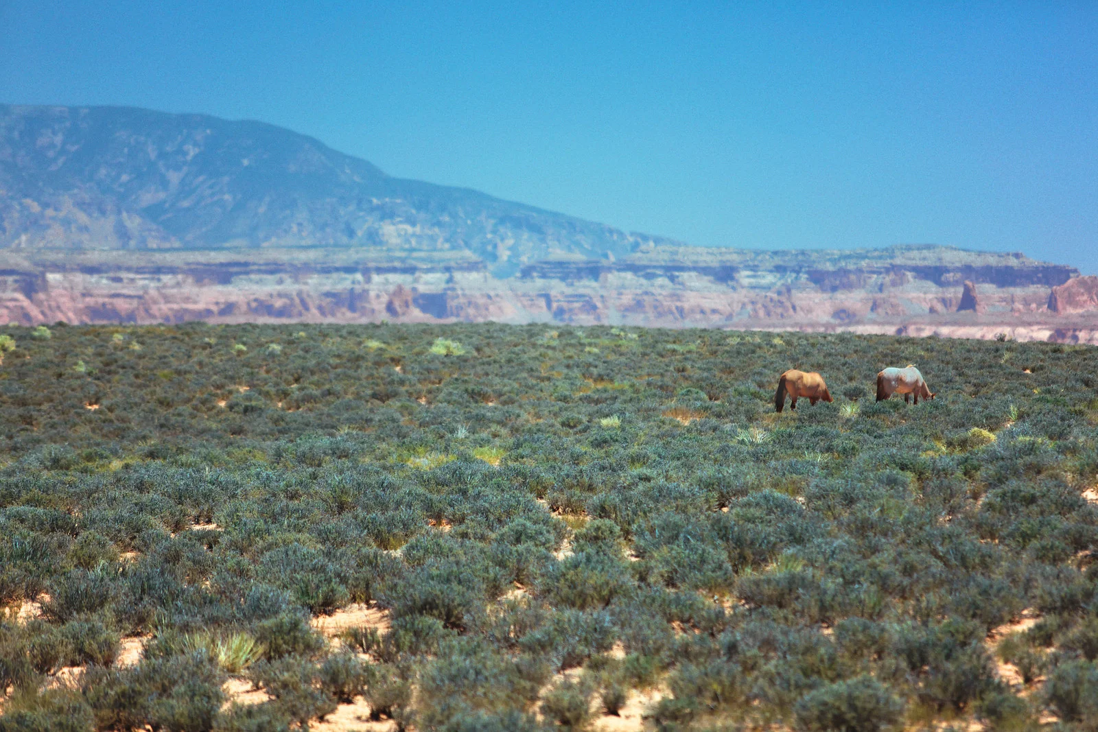
2003_Monument Valley Clouds(@ Monument Valley Tribal Park)
2003_Monument Valley Clouds (@ Monument Valley Tribal Park)
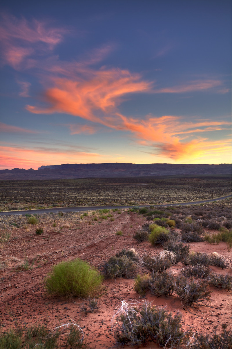
2004_Hwy54-north of Three Rivers Rd, Nm
2004_Hwy54-north of Three Rivers Rd, Nm
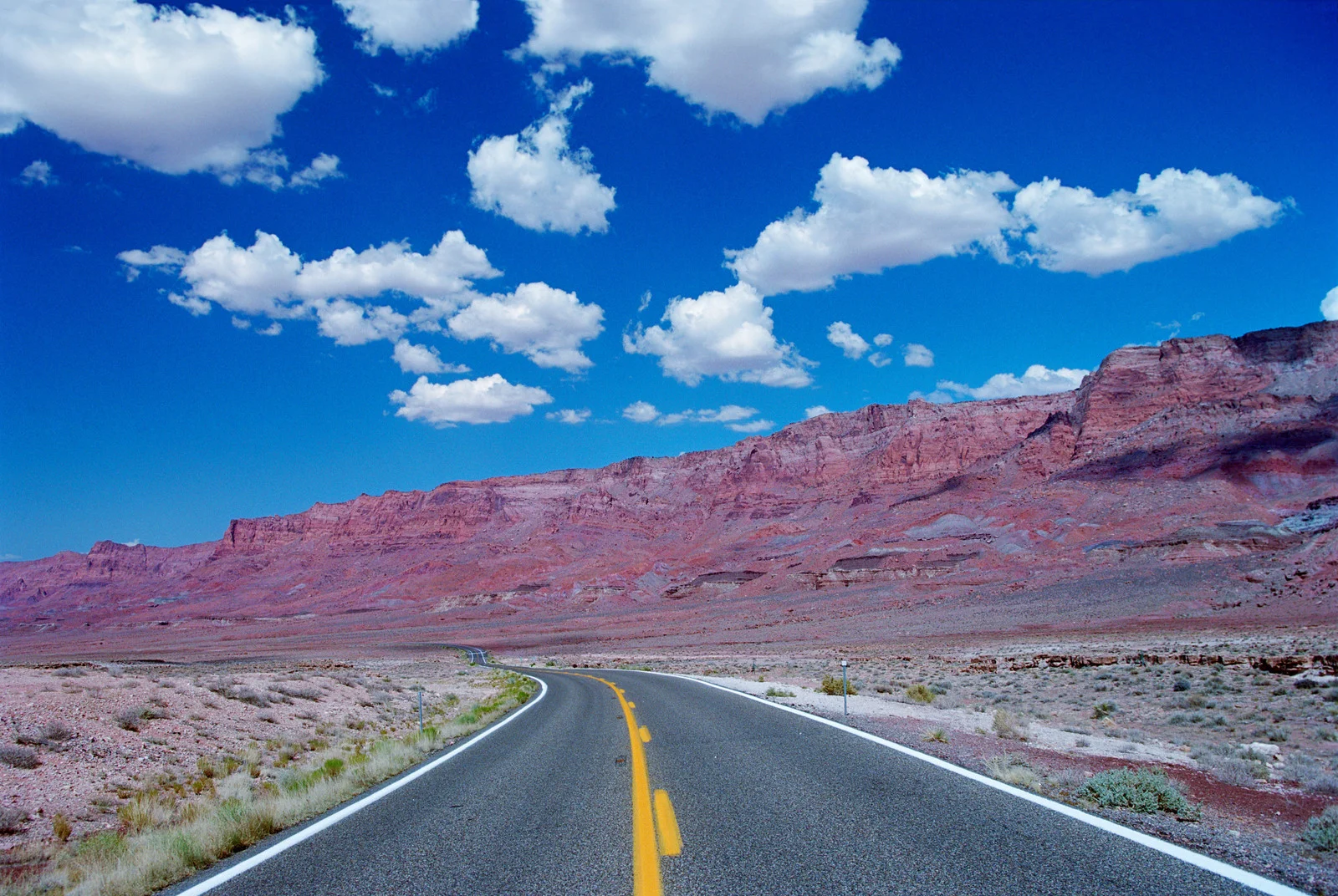
2003_Vermillion Cliffs,Hwy 89A north, Az
2003_Vermillion Cliffs,Hwy 89A north,Az
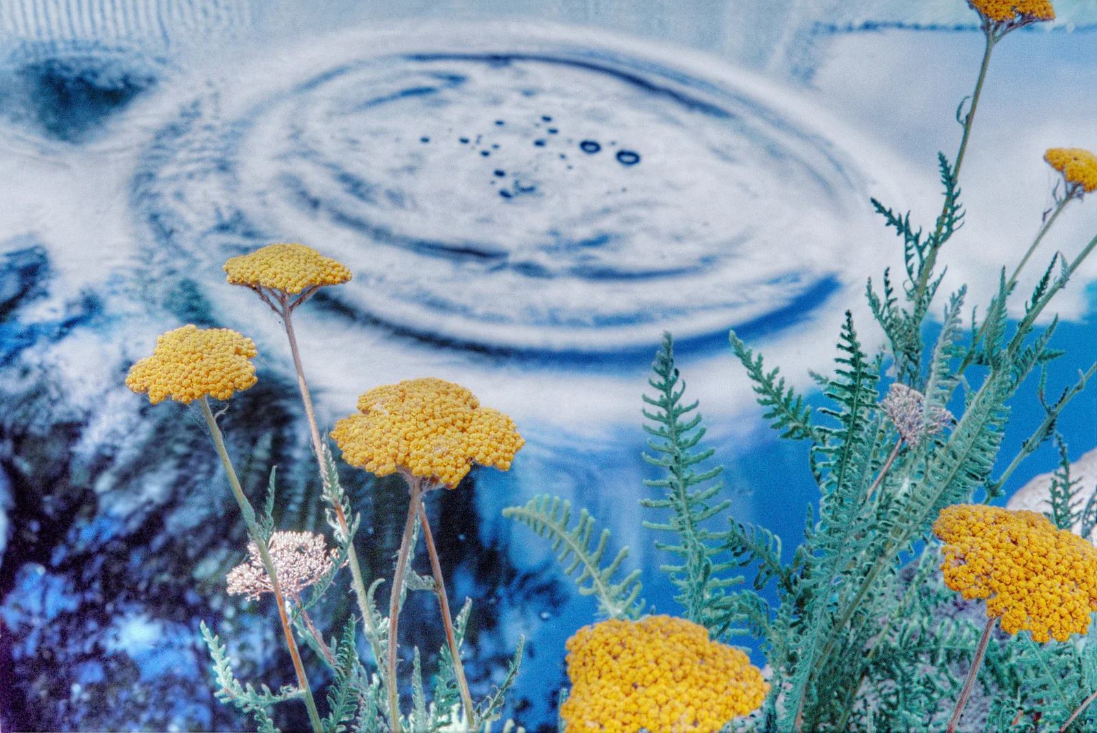
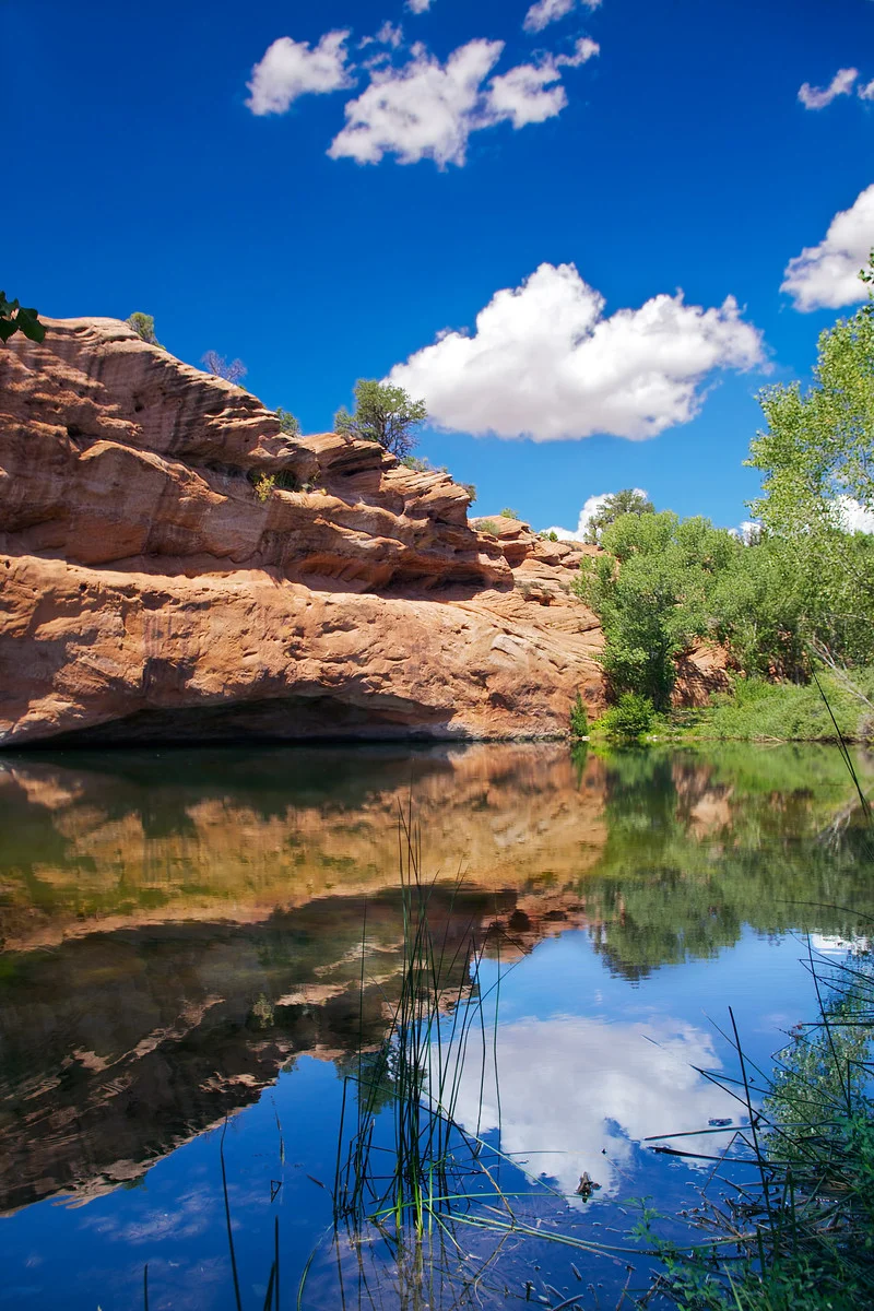
2003_Stream-La Cueva Mill; Nm
Yellow yarrow plant near a stream at La Cueva Mill, La Cueva NM
2010_Bryce Inn_Hatch,Utah
2010_Area Near Toadstools off Hwy 89 ,Ut
2010_Looking East off Hwy 89-south of Hwy 12,Utah

2010_Night Sky-Escalante, Ut
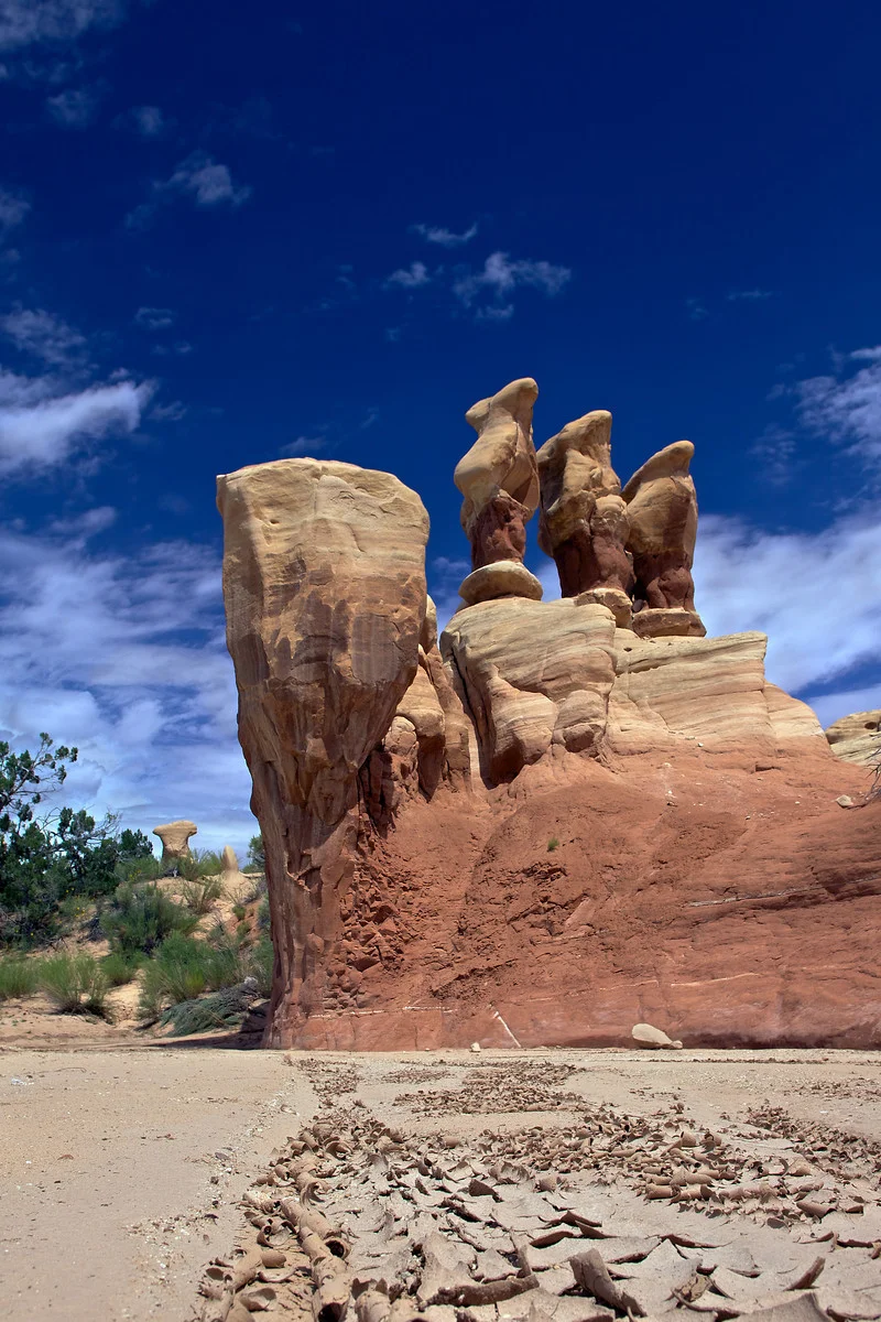
2010_Hoodoos-Devils Garden; Ut
2010_Burr Trail, Ut
2010_Hwy 89_North of Kanab, Ut
2010_Hwy 12-east of Cannonville, Ut
![2010_Hwy 389-[east]-Az](https://images.squarespace-cdn.com/content/v1/5007566ae4b077c0b1bda61a/1402372221144-6AX16ZBMW3BNPREVTL9D/image-asset.jpeg)
2010_Hwy 389-[east]-Az
Arizona highway 389 facing east; East of Colorado City; just east of Co. Highway 239

2010_Losee Canyon_arches trail, Ut
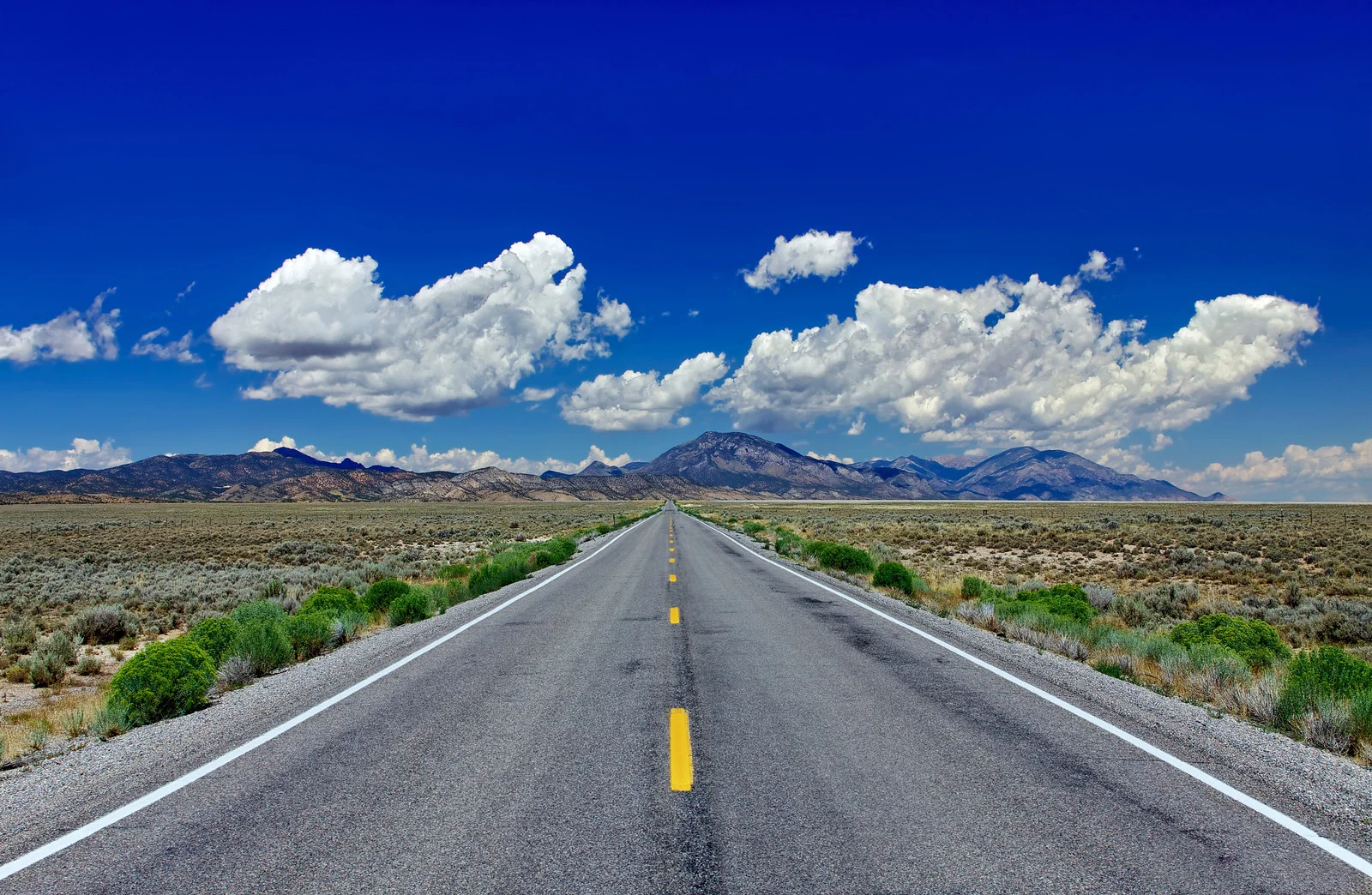
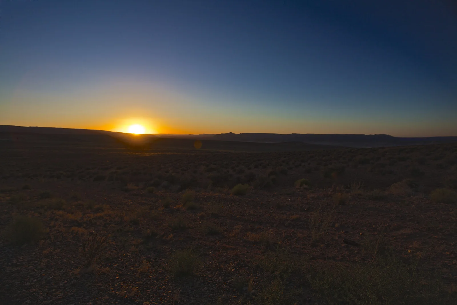
2010_North On Hwy 93-Nv
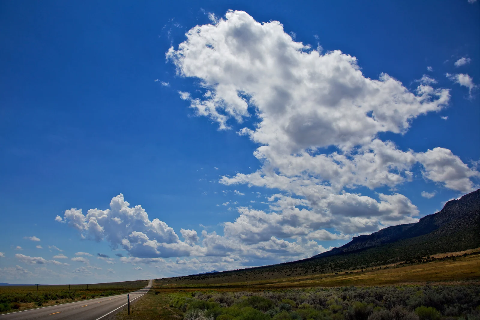
2010_South on Hwy 93_Nv
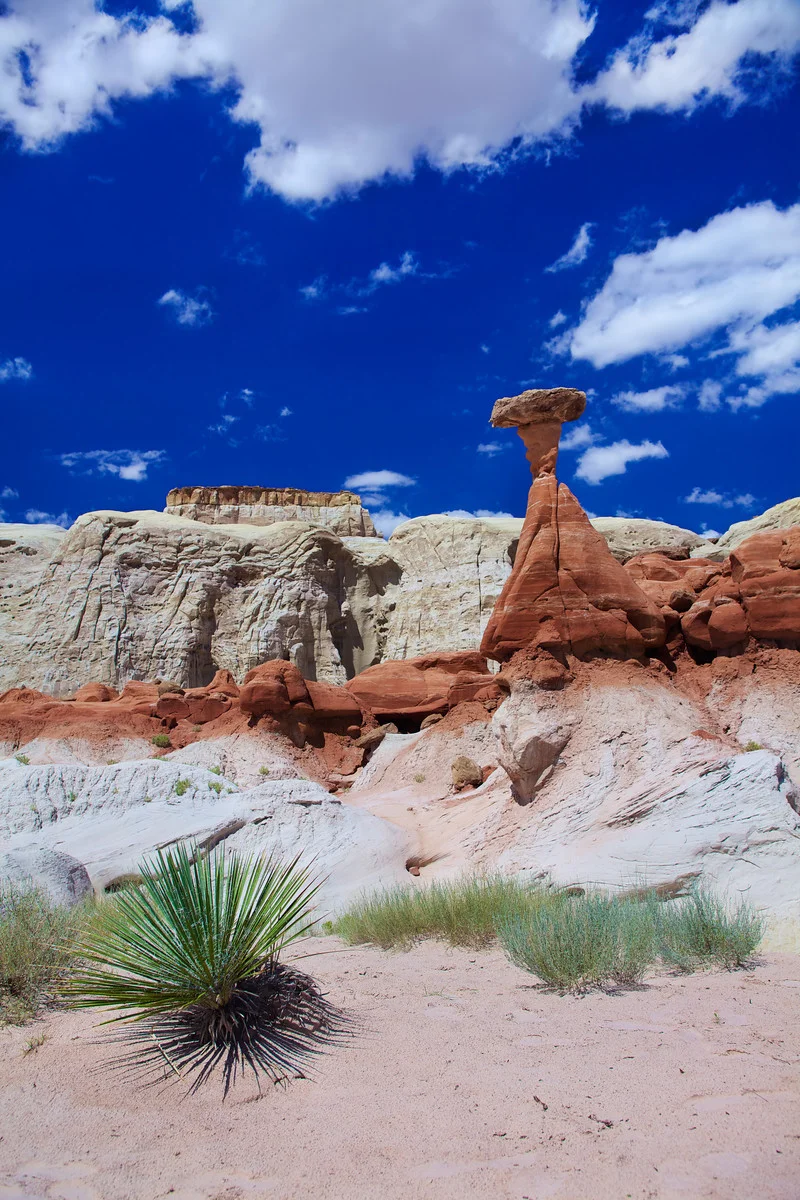
2010_The Toadstools-off Hwy 89, Ut
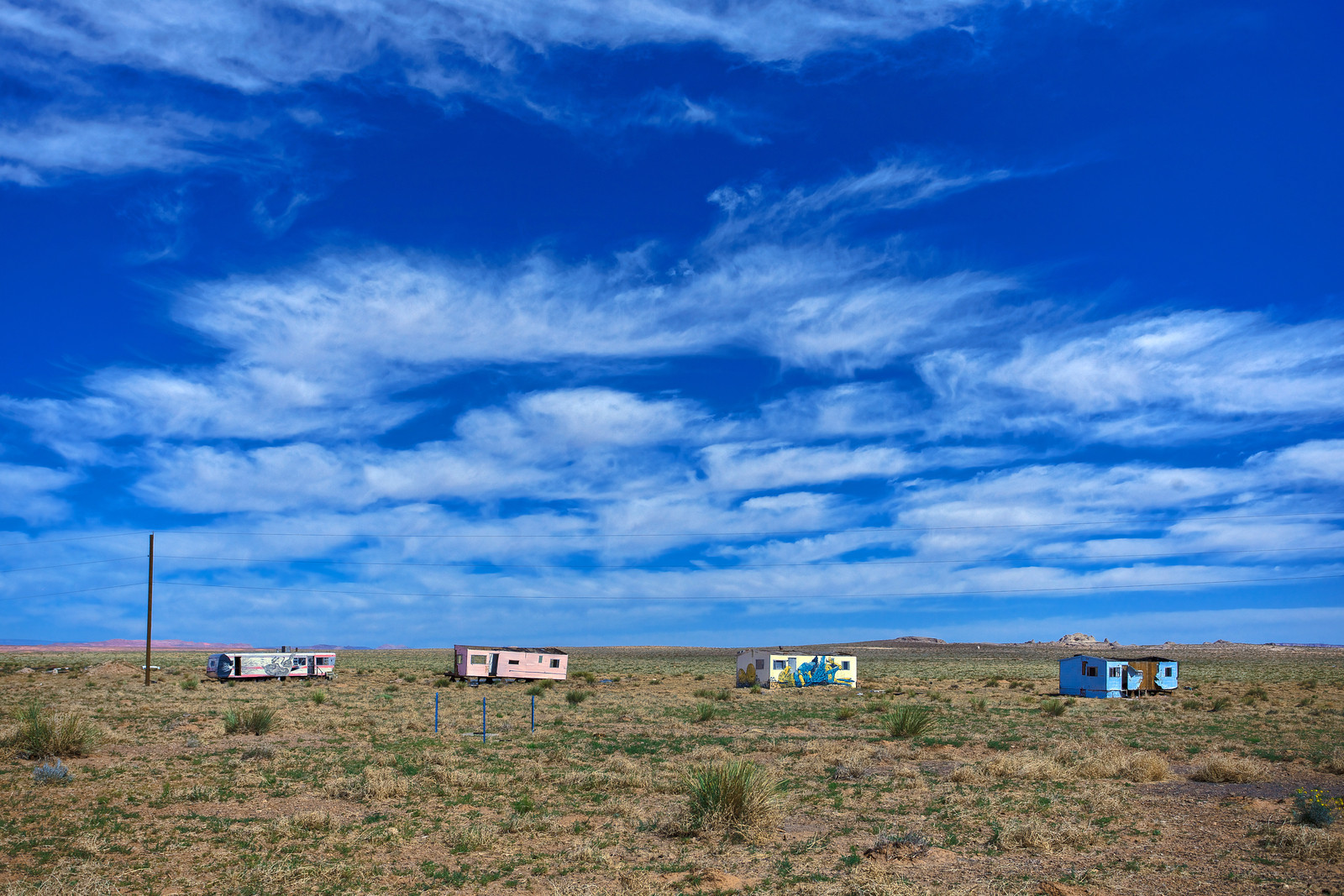
2010_Highway 59, Utah
Highway 59, Utah, north of Arizona border. GPS coordinates: 37.04732,-113.08797

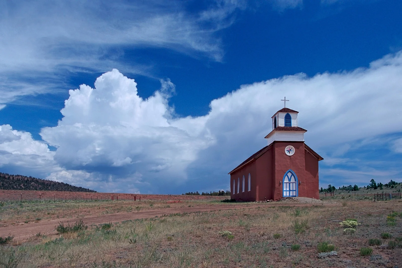
2011_Sangre de Cristo Chapel-Cuartelez,Nm-{1}
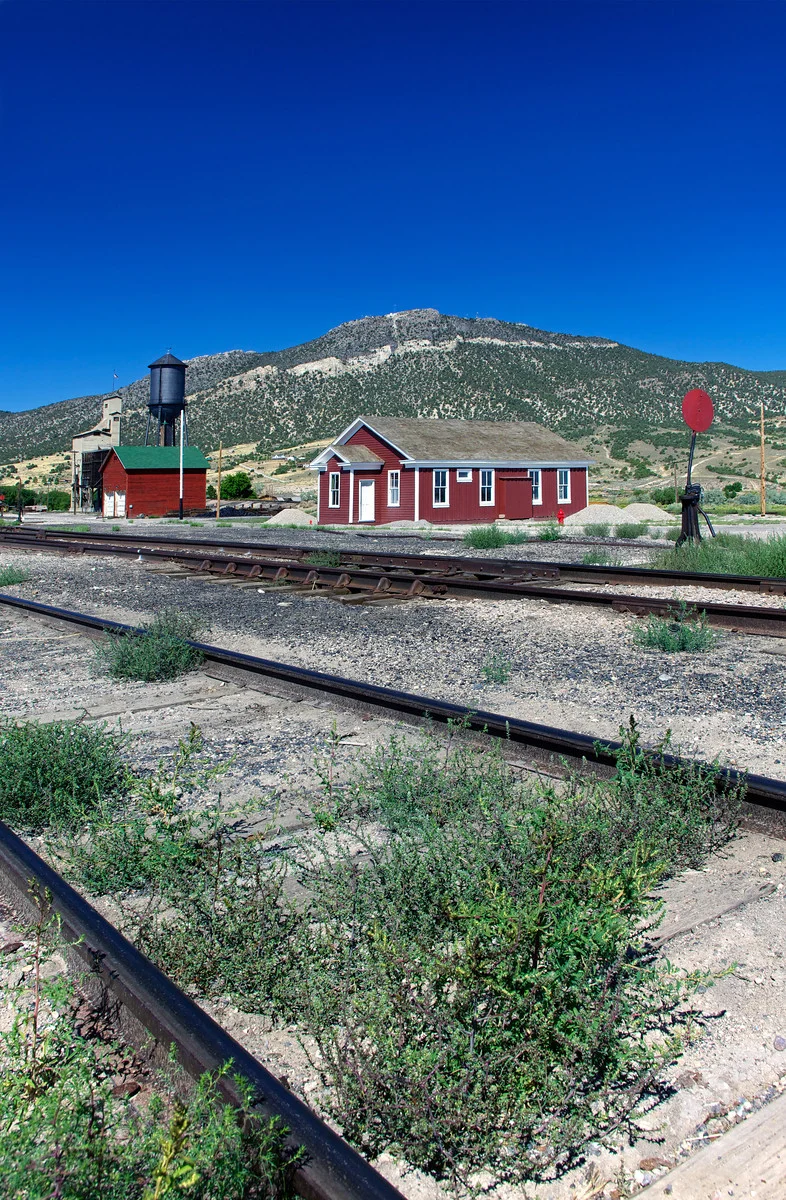
2010_Train Station_Ely-Nv
2011_Sangre de Cristo Chapel-Cuartelez,Nm-{2}
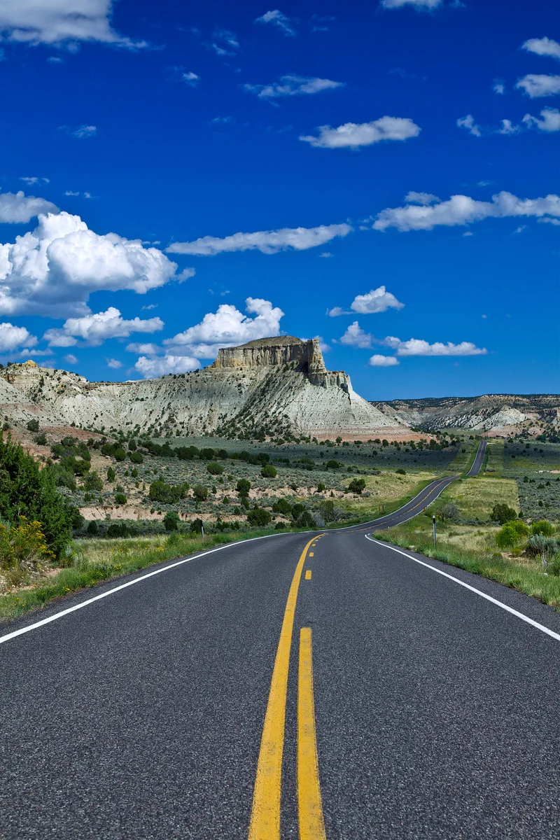
2013_Highway 98 east of Page, Ut
2013_Hwy 160 east of Tuba City, Az
2011_Sangre de Cristo Chapel-Cuartelez,Nm-{3}
2013_Lake Powell area-Utah-{1}
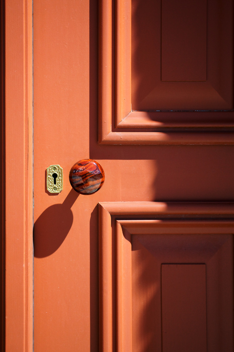
2013_St.Augustines Front Door-Austin, Nv
2013_Lake Powell area-Utah-{2}
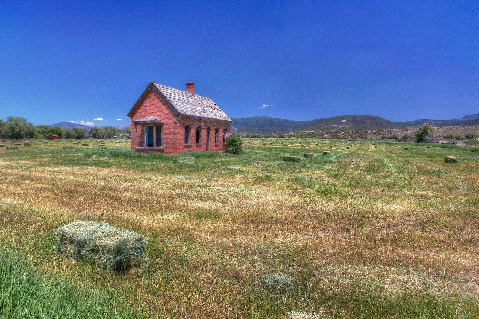
2013_S.Main St-Beaver, Ut
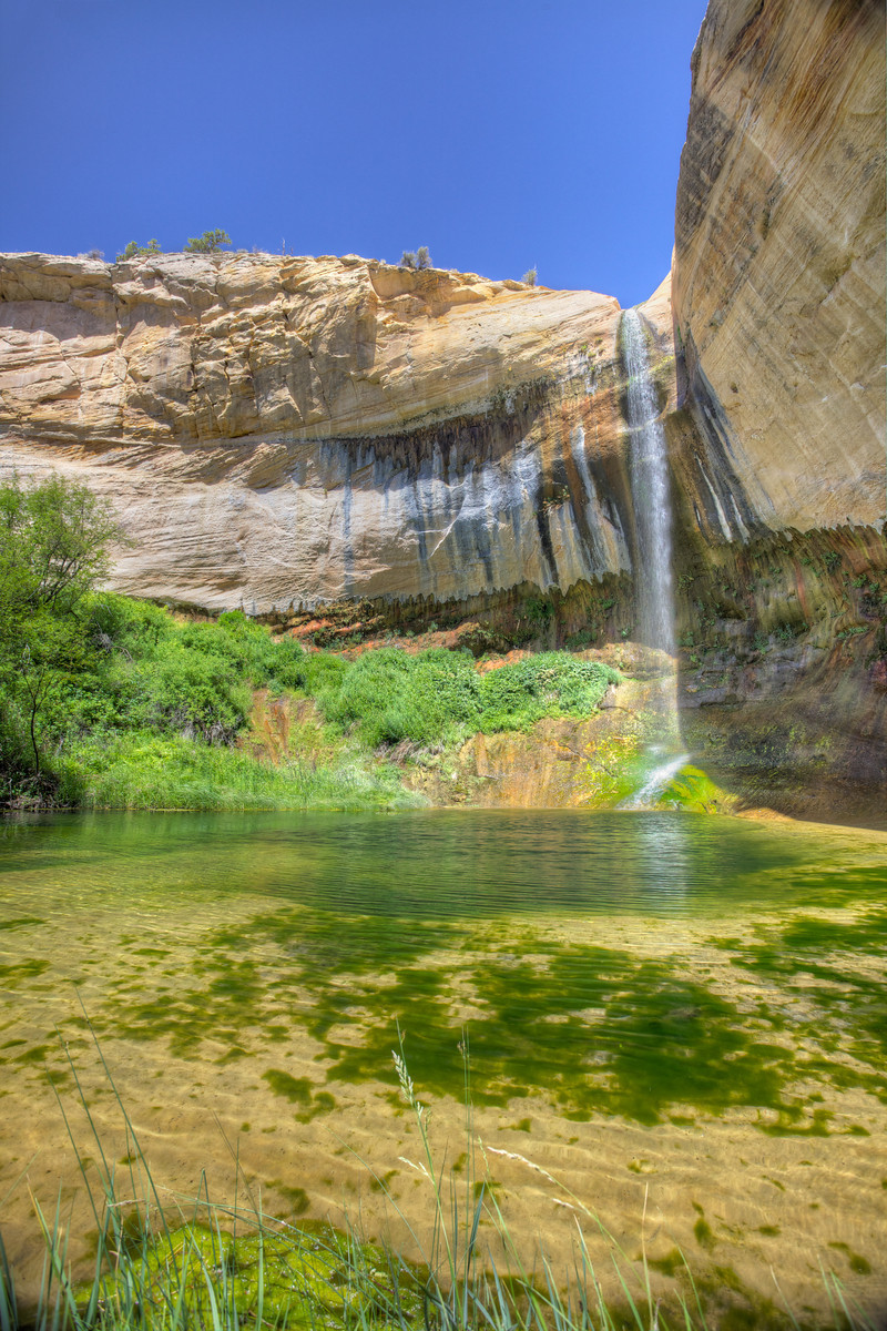
2013_Upper Calf Creek Falls-Ut
/